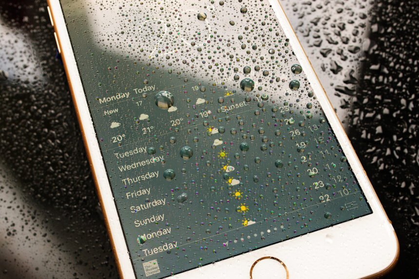
For thousands of years, people are trying to predict the weather. Back in the Babylonian times, the weather was forecasted based on cloud patterns and astrology. In the past years, weather forecasting has become significantly more accurate, thanks to the advance of super computers and massive amounts of data. But in the near future it is going to be even more accurate. Hyper-local, real-time weather forecasting is just around the corner. Weather predictions are becoming more accurate, because more variables can be incorporated in the predictions. Apart from data from the monitoring stations across the country, variables such as satellite data (electromagnetic radiation), data from airplanes (such as temperature, direction and speed of wind) or in the future data from sensors in our mobile phones, will have a positive effect on the accuracy of the predictions. In the Netherlands, weather forecasts have already improved to make accurate prediction in a grid of 2,5 square kilometre. In the past, just 20 years ago, this used to be 50 square kilometres. In France, they are even working on a grid of 1,3 square kilometre, which means hyper-local weather forecasting. However, in order to do this, massive supercomputers are required as these squares consist also of numerous vertical layers. So for The Netherlands alone we are talking about 416.000 individual predictions that need to be made (The Netherlands is currently build up out of 6.400 squares of 2,5×2,5 each with a total of 65 vertical layers). This requires over 50 Gigabyte of data per prediction, which is why currently only every 3 hours a prediction is made. It won’t be long before this can be done in real time. Accurate weather predictions are very important for economic activities and with more extreme weather conditions happening, knowing what to expect could save a lot of money, and lives. Such hyper-local real-time weather forecasting is becoming more common every day. In fact, during hurricane Sandy forecasters were able to determine landfall within 10 miles of its actual location, three days before the hurricane, as can be seen in this great video, which was a great improvement from previous hurricanes. I really appreciate that you are reading my post. I am a regular blogger on the topic of Big Data and how organizations should develop a Big Data Strategy. If you wish to read more on these topics, then please click ‘Follow’ or connect with me via Twitter or Facebook. You might also be interested in my book: Think Bigger – Developing a Successful Big Data Strategy for Your Business. This article originally appeared on Datafloq.

